
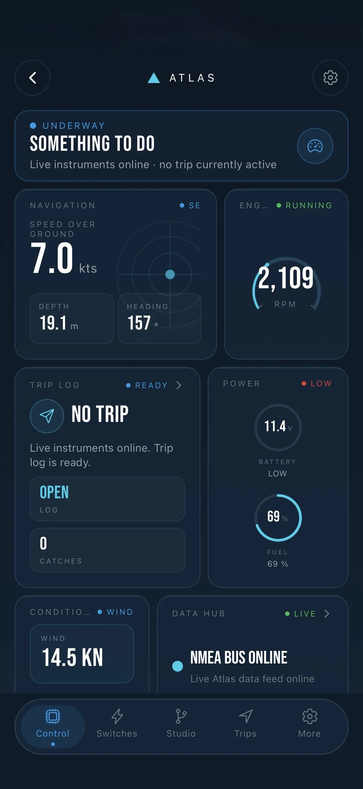
01 / NMEA BUS / ONLINE
Live instruments
Depth, speed, heading, batteries and engine readings move from the NMEA 2000 backbone to Fisho.
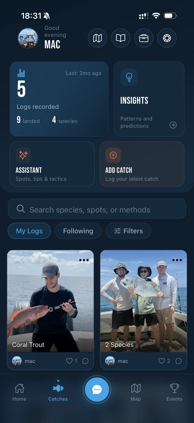
Forecasts, live ocean layers, surveyed 3D charts, catches and boat data. One connected system for every decision on the water.
Start the descent↘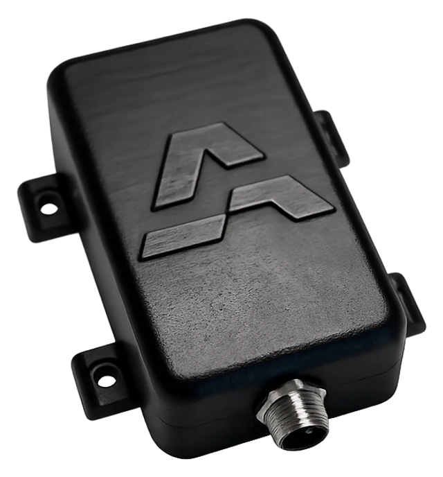
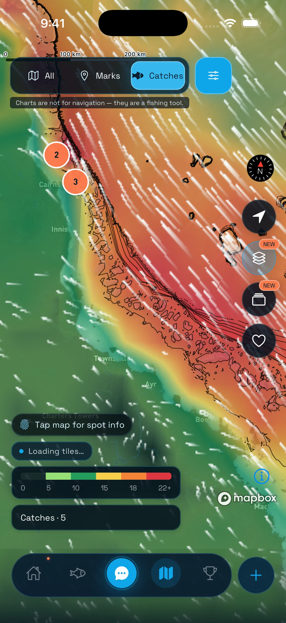
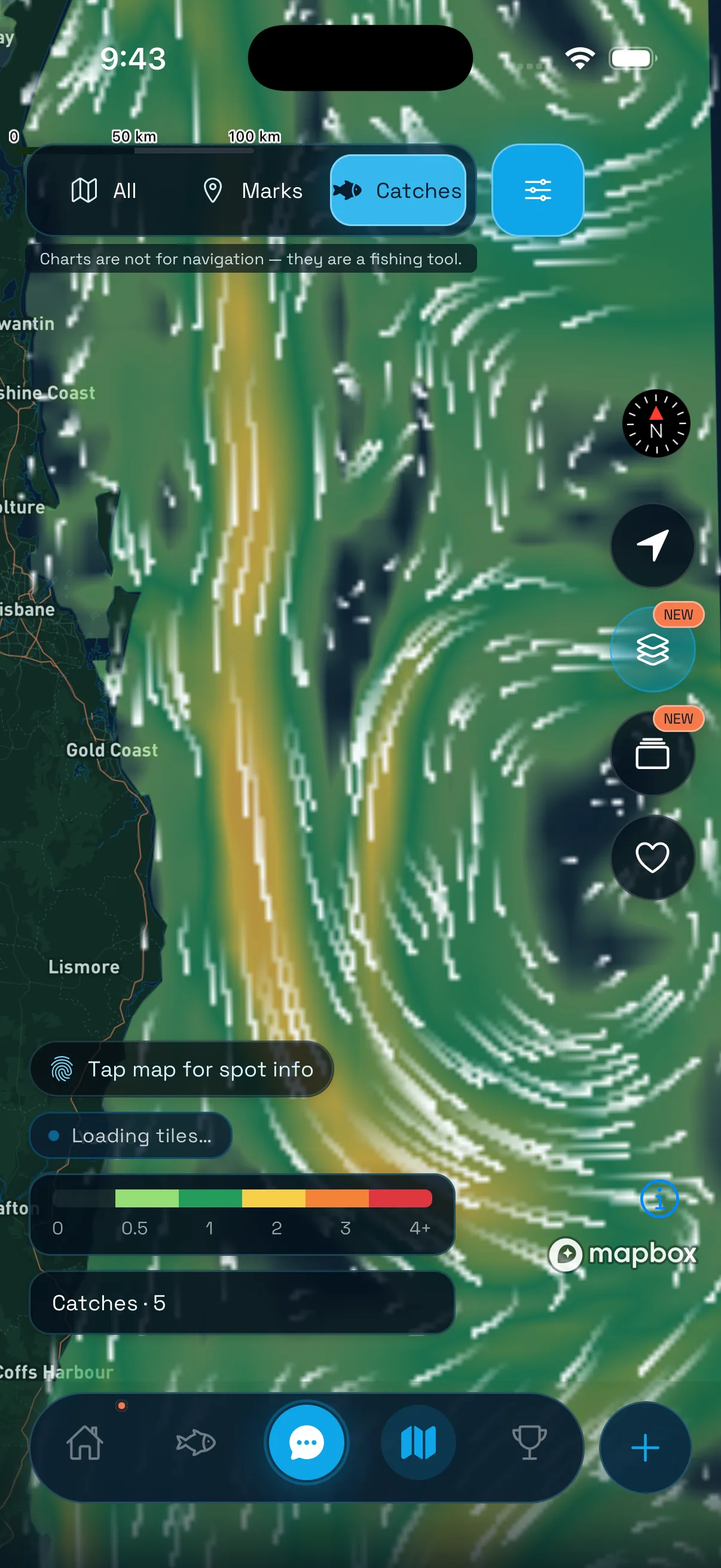
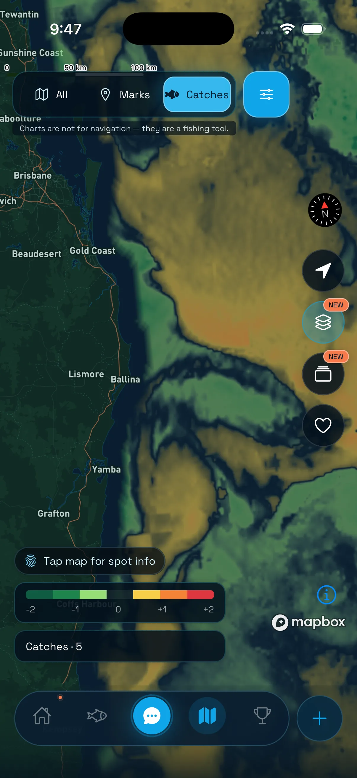
Wind, swell, tides, temperature, chlorophyll, fronts and eddies—plus current through the water column. Every layer sits over the chart, so the day's edges and windows are visible before you leave.
Explore ocean overlays↘WATER COLUMN / CURRENT + THERMOCLINE
Depth, speed, heading, batteries and engine readings move from the NMEA 2000 backbone to Fisho.
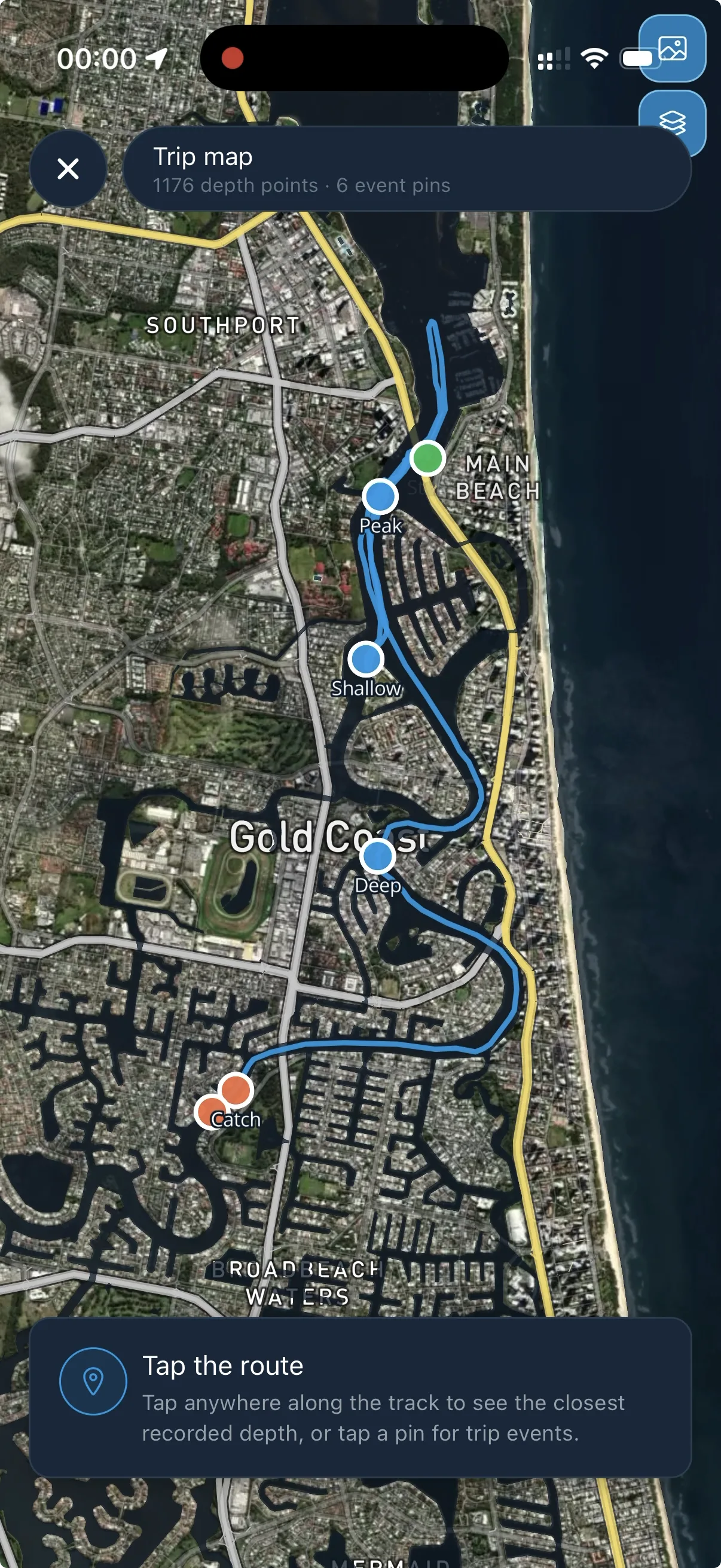
Track, depth, catches and boat readings are recorded together while you run.
When the boat is online, Fisho keeps the important readings visible while you are ashore.
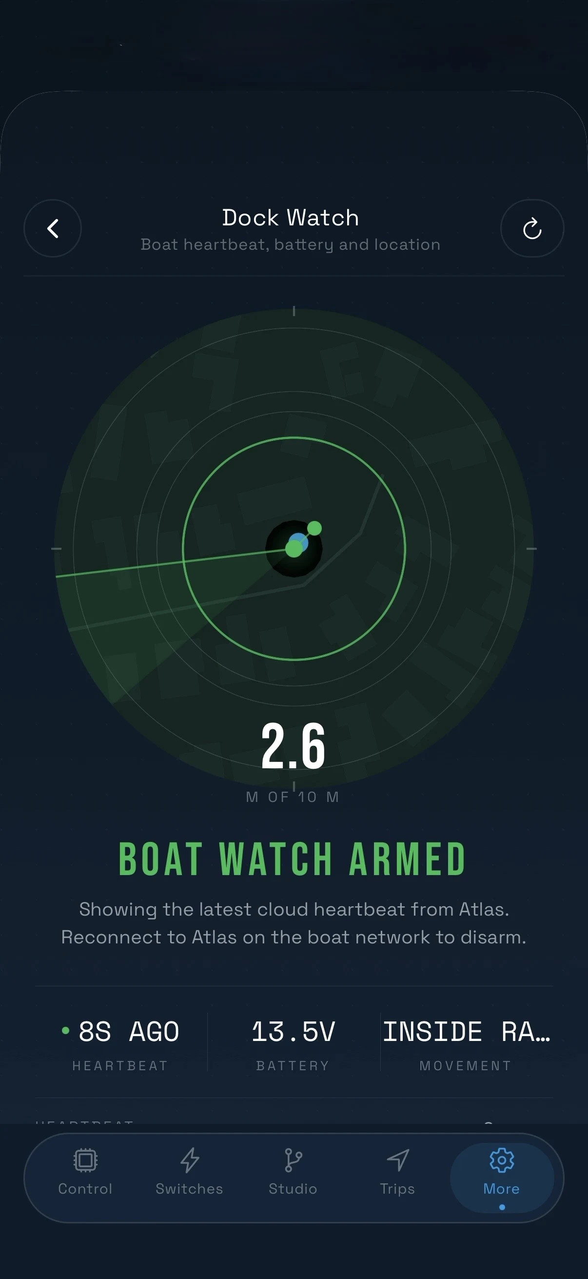
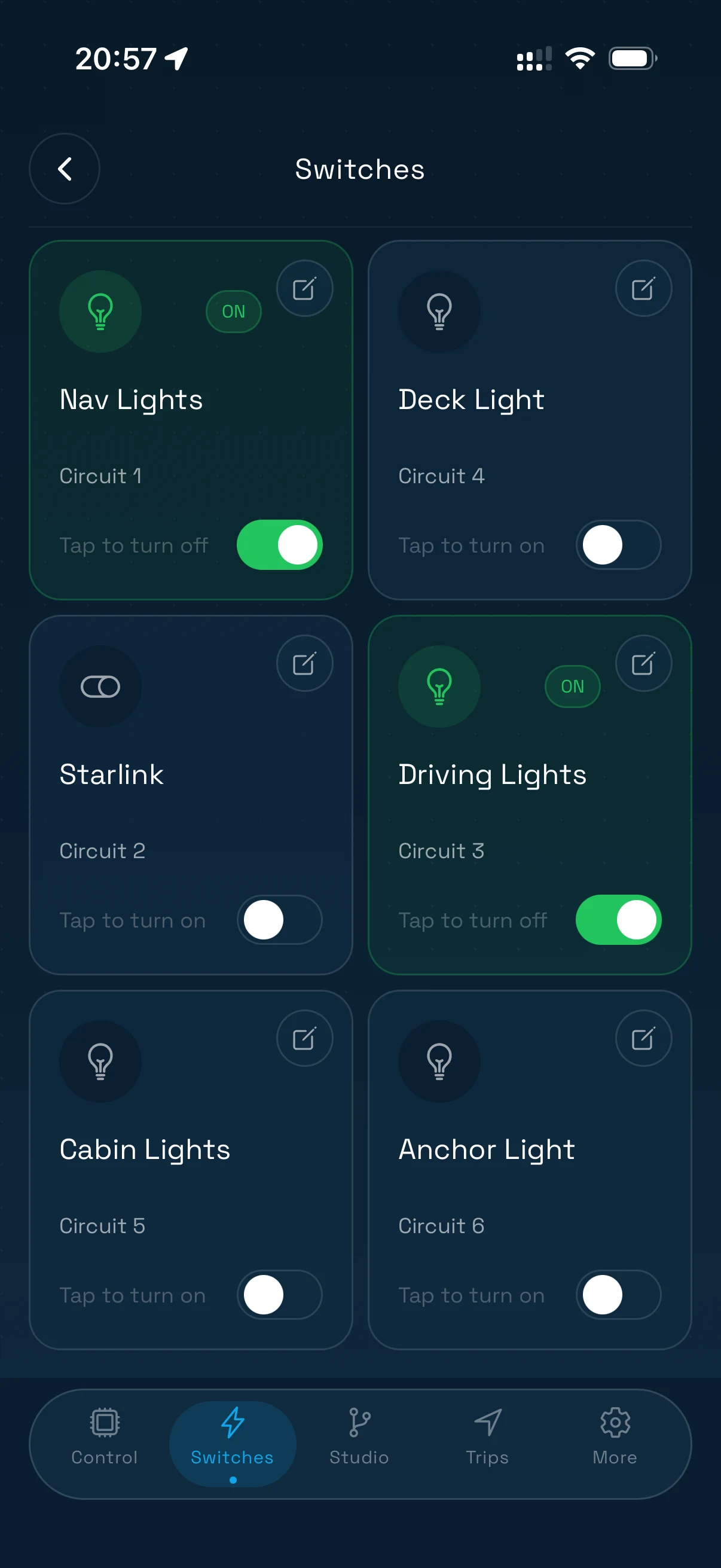
Control supported vessel loads and see confirmation from the boat—not just a hopeful tap.
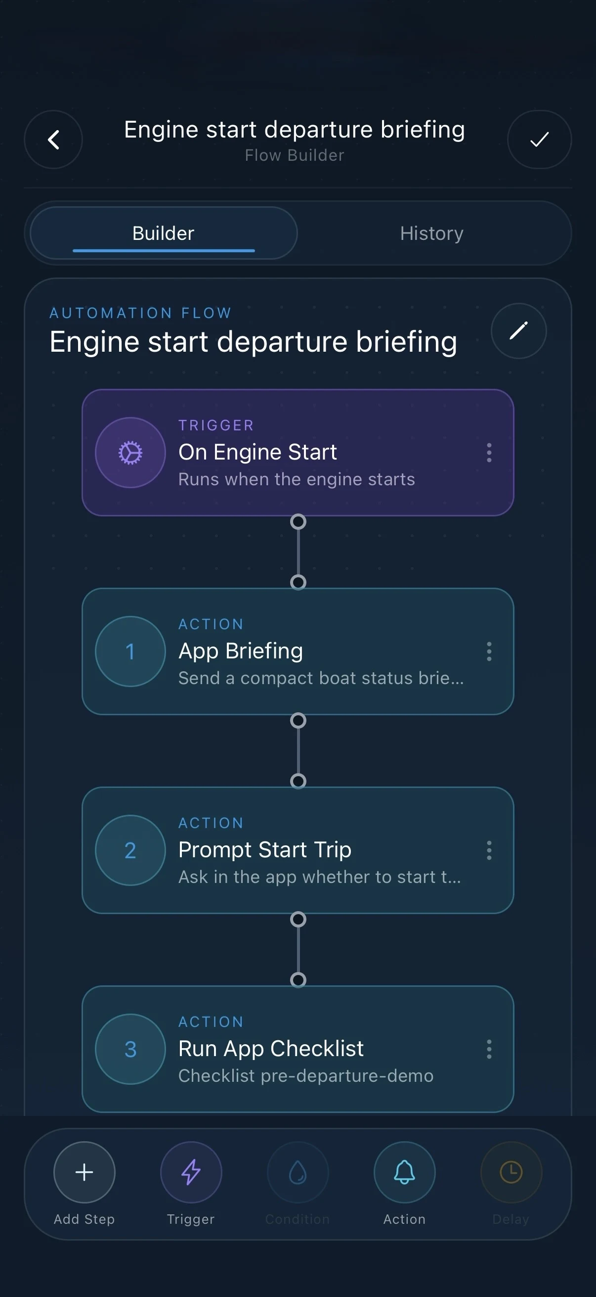
Build a flow once—a trigger, then the steps that follow—and Atlas runs it on the boat. Departure briefings, checklists, alerts and switching, without a tap.
From surveyed structure to habitat, then the conditions that can turn good country into good water.
Explore Fishing Intel↘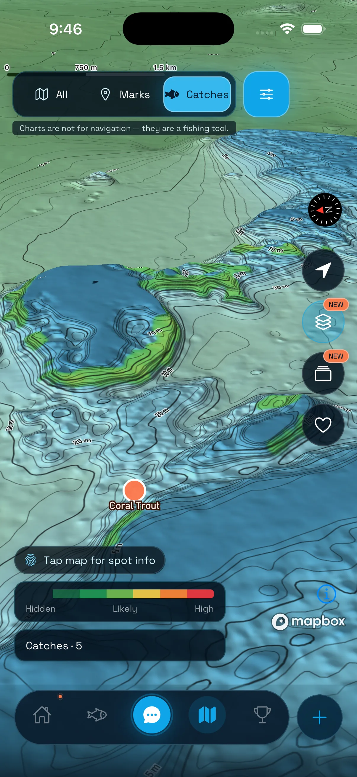
Surveyed relief becomes structure: ledges, reef faces, gutters and depth bands.
Current, temperature and season show where that habitat is becoming active now.
Fisho brings the evidence together and shows where the day deserves a closer look.
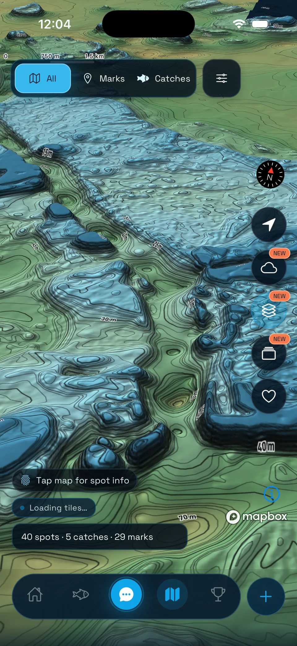
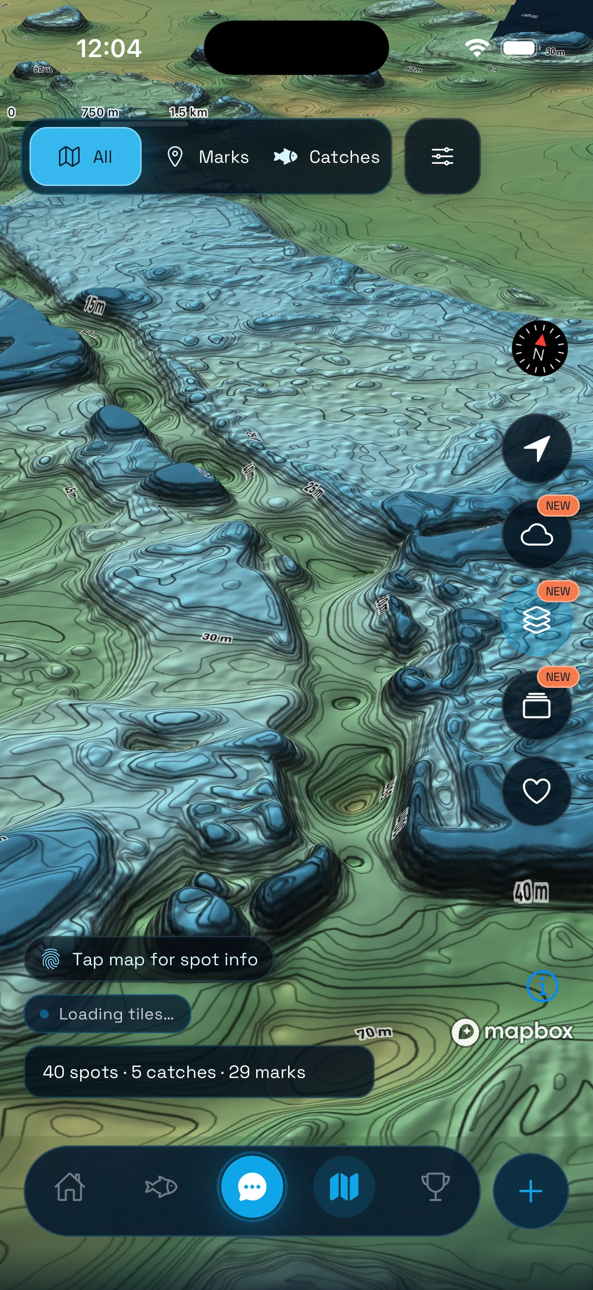
Read ledges, pinnacles, gutters and reef faces in true 3D. Add marks, catches and ocean layers, then build a chart that fishes like your own.
See 3D bathymetry↘10 M SURVEY GRID / TRUE 3D / MARKS + CATCHES
Fisho / built for the next trip
Start with the free Fisho app. Add Atlas Mini when you want the boat feeding live data into the same system.
3D bathymetry, catches, ocean layers, Fishing Intel and more.


Bring NMEA 2000 data, trip context and supported boat controls into Fisho.
Read about Atlas Mini ↗